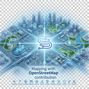
Fifteen new data models from the mapping of OpenStreetMap are now available in a new subject datamodel.OpenStreetMap
Thanks to the inspiration of Flavio Cirillo who currently works for NEC these models are now available, and thanks to the contributors of OpenStreetMap who created these models that are mapped here in this derivative work.
New data models will come shortly for this new subject
-
OSMAerialway. An aerial transport or lift from OpenStreetMap tagged with aerialway=*. Describes cable cars, gondolas, chair lifts, and drag lifts
-
OSMAmenity. A facility or amenity from OpenStreetMap tagged with amenity=*. Represents places of public or private use such as restaurants, schools, hospitals, banks, etc
-
OSMBuilding. A building or group of connected buildings from OpenStreetMap tagged with building=*. Represents the physical structure of a building, including its geometry, dimensions, materials, and functional classification. For specific functions within a building (shop, amenity, etc.) additional entities should be used.
-
OSMBuildingPart. A part or section of a building from OpenStreetMap tagged with building:part=*. Used to represent buildings with varying heights, roof shapes, or materials across different sections, enabling 3D building visualisation (Simple 3D Buildings standard).
-
OSMCycleRoute. A dedicated cycling infrastructure element from OpenStreetMap. Represents cycle paths, shared cycle lanes, and bike routes tagged with highway=cycleway or cycleway=* on road ways.
-
OSMHighway. A road or path element from OpenStreetMap tagged with the highway key. Represents all types of roads, from motorways to footpaths, as defined by the OSM highway taxonomy.
-
OSMLanduse. An area of land use from OpenStreetMap tagged with landuse=*. Describes the primary human purpose or use of an area of land
-
OSMLeisure. A place for leisure, sports, or recreation from OpenStreetMap tagged with leisure=*. Includes parks, sports pitches, swimming pools, stadiums, etc
-
OSMNatural. A natural feature from OpenStreetMap tagged with natural=*. Describes geographical features such as water bodies, woods, scrub, peaks, beaches, etc
-
OSMParkingArea. A vehicle parking area or facility from OpenStreetMap tagged with amenity=parking. Represents surface car parks, multi-storey garages, underground facilities, and other organised parking areas.
-
OSMPublicTransportStop. A public transport stop, station, platform or boarding point from OpenStreetMap. Represents nodes and areas where passengers board or alight from public transport services, tagged with public_transport=* or specific mode tags.
-
OSMRailway. A railway track or infrastructure element from OpenStreetMap tagged with the railway key. Covers all types of rail infrastructure, from mainline heavy rail to trams, subways and funiculars.
-
OSMShop. A shop or retail store from OpenStreetMap tagged with shop=*. Represents establishments selling retail products directly to end customers
-
OSMTourism. A tourist attraction or tourism-related facility from OpenStreetMap tagged with tourism=*. Includes hotels, museums, viewpoints, artworks, etc
-
OSMWaterway. A waterway from OpenStreetMap tagged with waterway=*. Describes rivers, streams, canals, drains, and other water courses